A road drawn for your route
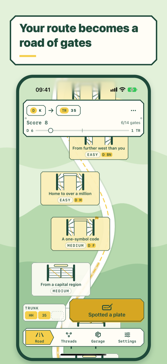
A gate every 150 km or so, at least five. Rules come from real data about regions: coastline, height, population, neighbours of your destination.
Every plate is an address. Every trip is a stitched map.
Set where you start and where you're going. The route becomes a winding road of toll gates, each with a rule about a region. Spot a car, key in the code from its plate, and decide which single gate that plate opens. By the last gate, the threads from every plate you met have stitched a map of the road around you.
Get it on the App StorePassengers on long drives — families heading home for the summer between Germany and Türkiye, friends on a coastal road in France, anyone who has ever asked "34… where is that?". The driver keeps their eyes on the road; there are no timers, so nobody has to look at a screen in a hurry.
A gate every 150 km or so, at least five. Rules come from real data about regions: coastline, height, population, neighbours of your destination.
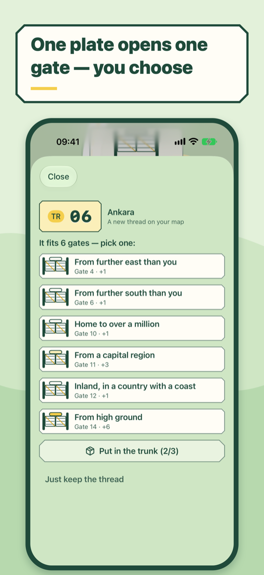
A plate may fit three gates; you open only one with it. Spares wait in a three-slot trunk, and spending them later earns a bonus.
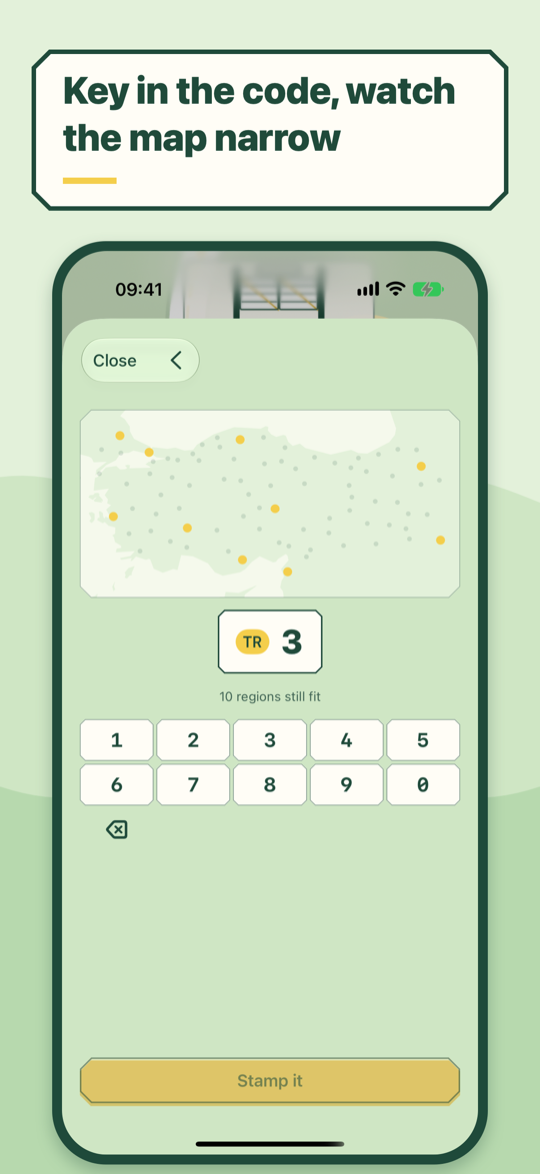
Tap the oval country sign, type the regional code, and watch the mini-map narrow until one region is left.
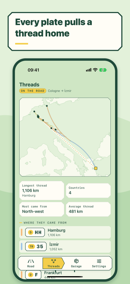
Each plate pulls a stitched thread from its home to where you met it. Nothing gets coloured in; the picture is your actual trip.
Before leaving, flag the gate where destination plates will start to outnumber plates from home. The road keeps the score.
Regional codes for Türkiye, Germany, Austria, Switzerland, France, Bulgaria, Romania, Croatia and Serbia ship inside the app.